
Joint Testing of Underwater LiDAR (ULi) Systems at the University of Rostock
From 2nd to 4th September 2026, Yu Lan and Ji Yang from IGMR-Geomatics team at Clausthal University of Technology (TUC) participated in a joint experimental campaign at the University of Rostock, working with Annika L. Walter from HafenCity University Hamburg (HCU) and Christopher Karberg from the Fraunhofer Institute for Large Structures in Production Engineering IGP. The three-day campaign involved testing three underwater LiDAR (ULi) systems from Fraunhofer IPM. The experiments took place in the university’s Rundlaufkanal (https://www.lmt.uni-rostock.de/rundlaufkanal/), a circular towing tank used for hydrodynamic research.
The ULi system uses pulsed laser light to measure underwater structures in three dimensions (3D). The TUC IGMR-Geomatics team’s research primarily supports the EAGruMo project (https://www.eagrumo.tu-clausthal.de/material/veroeffentlichungen), which explores the potential of former mining infrastructure in the Harz region for water storage. In this context, the ULi system research aims to support reliable 3D mapping of underwater structures in the Ernst-August mine adit. Underwater laser measurements face particular challenges because water attenuates light and suspended particles scatter it. Understanding these effects is therefore essential for evaluating signal quality and supporting the reliable interpretation of measurement data for the project.
Within the joint campaign, TUC IGMR-Geomatics placed particular emphasis on studying the waveforms recorded by the ULi systems. Waveform analysis examines how the received signal changes over time, providing a basis for investigating the timing, amplitude, and shape of laser returns. These characteristics can offer insights into the measurement process and help researchers interpret the relationship between the recorded signals and the underwater scene. This makes waveform research relevant to both understanding sensor behavior and developing suitable approaches to data processing.
A second focus concerned the systems’ individual measurement channels. Examining channel characteristics can help researchers assess the consistency of signal responses and investigate potential differences between channels. Considered together, waveform and channel analysis can provide a more detailed picture of how a system acquires measurement information and which aspects require attention during data interpretation and quality assessment.
The collaboration brought together researchers from TUC IGMR-Geomatics, HCU, and Fraunhofer IGP and provided a basis for further investigation of the ULi systems. A deeper understanding of waveforms and measurement channels can support the reliable interpretation and use of underwater surveying data, contributing to the spatial exploration objectives of the EAGruMo project.
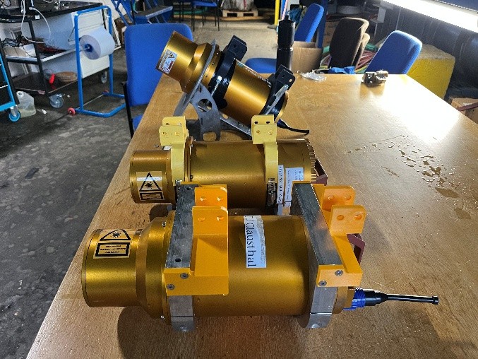
Three ULi systems tested from HCU Fraunhofer IGP and TUC
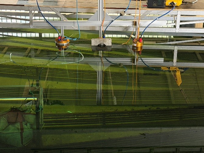
Three ULi systems tested in the Rundlaufkanal
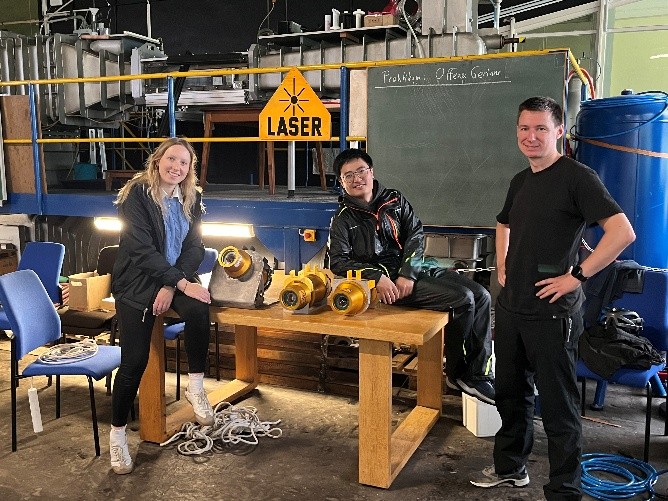
Researchers participating in the experiments: left:Annika L. Walter (HCU), middle:Yu Lan (TUC), and right: Christopher Karberg (Fraunhofer IGP)
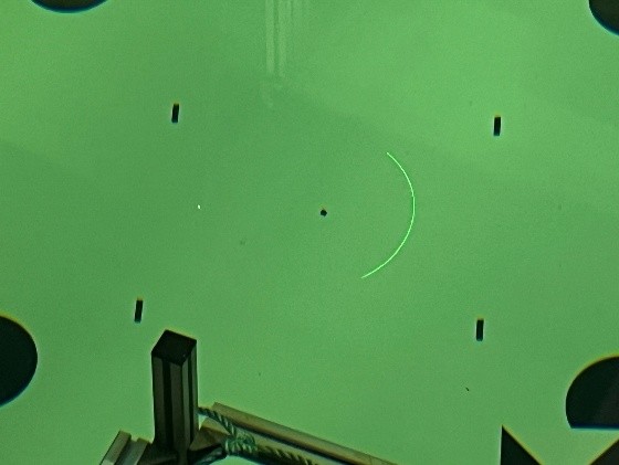
The ULi system scanning the reference board